
Another old photo of the promenade courtesy of the fantastic Syd Bird archives. Presumed to be part of the same set that we’ve seen in recent weeks. Note that there aren’t any railings and that the benches face toward Meols – is that so the seated have their backs to the prevailing westerly winds I wonder?
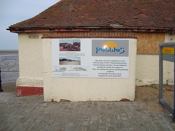
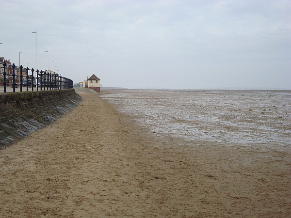
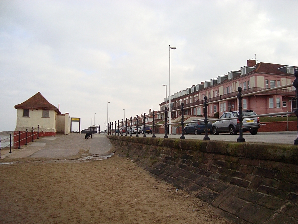
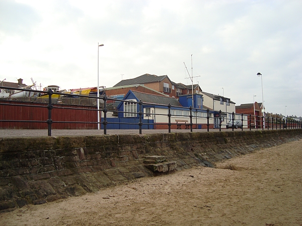
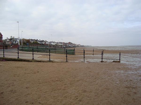
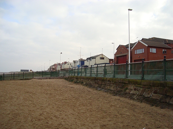
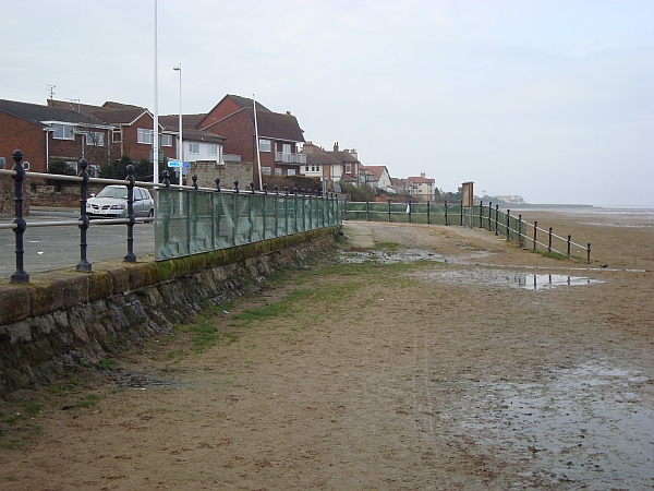
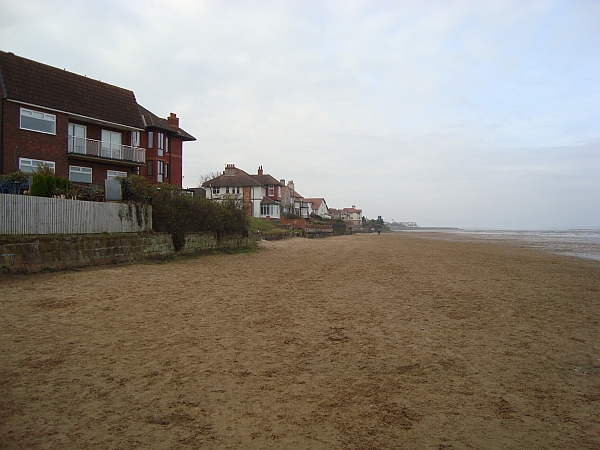
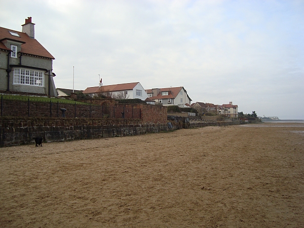
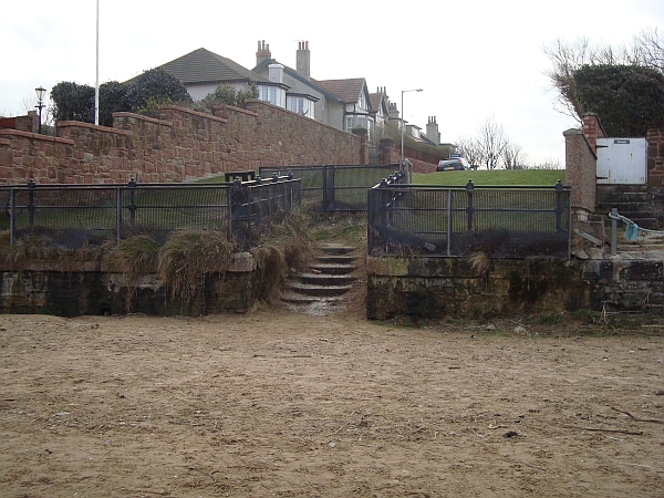
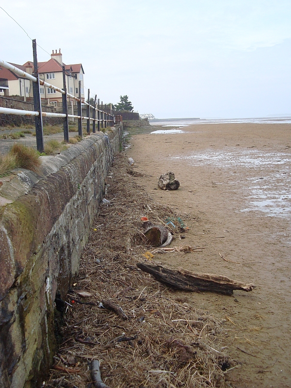
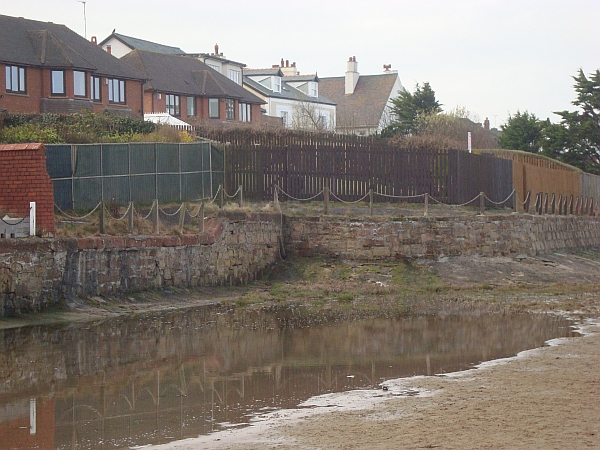
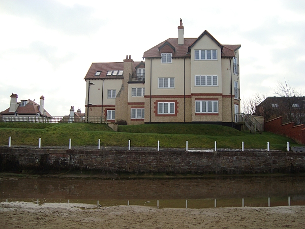
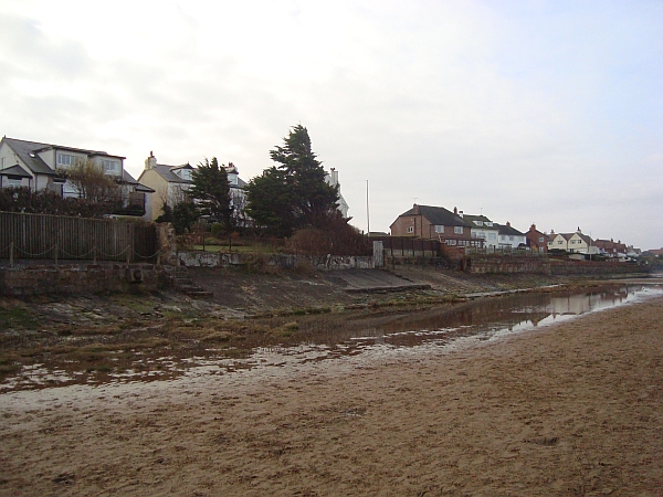
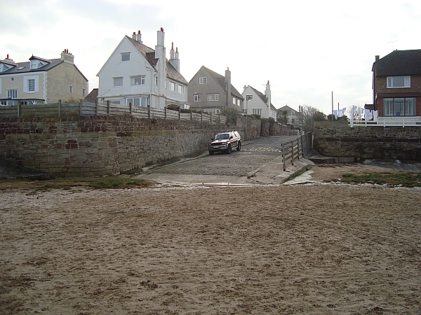
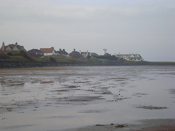
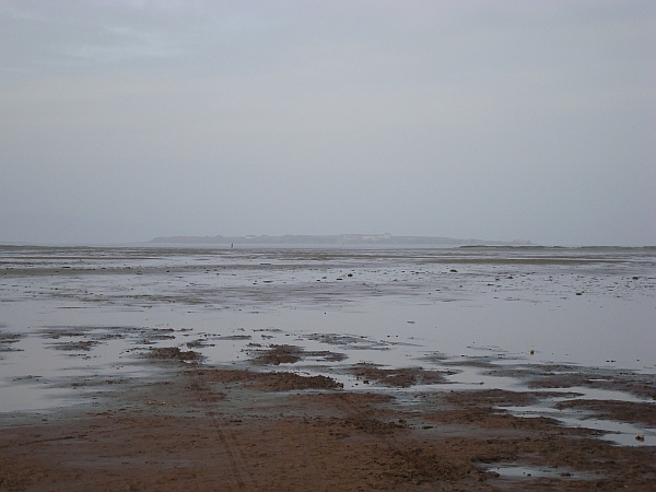
As there’s been quite a few comments about the Hoylake shoreline in recent weeks I thought you might like to see a few images of the shore and promenade as it looks today. So armed with a camera with a nearly flat battery (I forgot to check if it needed charging!) and a black labrador as my trusty companion who evidently thinks its fine to drink gallons of salty sea water, off we went. Actually, it’d been rather misty earlier in the week and the weather was like that yesterday morning – you could hardly see Hilbre Island. I walked up as far as the Beach Road slipway, next time I’ll carry on up to Red Rocks – the left-hand corner of Wirral.
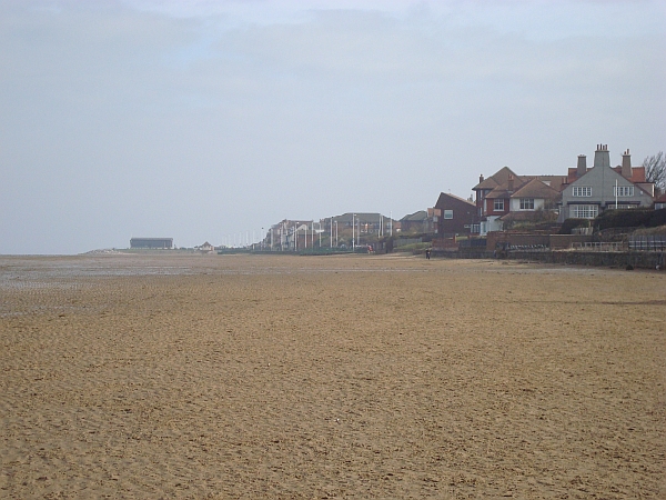
So take a look at the gallery of photos below and even better, if you’ve not walked along the beach from Kings Gap to Red Rocks then get your wellies on and go take a look yourself …you can have a nose at all the houses while you’re at it 😉


Yet again a top-drawer image of the old prom! Syd you clearly have a phenomenal archive – are these family photos or from a professional source? Also I was wondering if you have any that illustrate construction sites around the town (residential neighbourhoods or landmarks etc.). Such pictures would be equally fascinating. Thank you for your generosity so far!
Hello Leo,
Most of the “Old Hoylake and Meols” photo`s that I have were collected by me and a pal of mine in the early 60`s. The first few came from within my family but the vast majority came from the older residents of Hoylake and Meols who were about at that time. I do have a few originals but most are copies as naturally we always returned the originals to their owners.Of course in those days there were no computers or scanners so we used to photograph them and make copy and then return them. Incidentally the last two photo`s of mine that John has used came from my late cousin Stan Bird who used to live in Lake Place.His son Gareth works with the R.N.L.I.
No construction site photos I`m afraid,apart from the one you have probably seen a few monthe back of the Y.M.C.A. (The Institute) being built.
Glad you are enjoying them
Thanks also to you John – nice photos of details I used to know very well but which have faded in my memory over time. They bring back lots of memories of countless walks with my old dog…
I can see now that there was beach access from points along Stanley road (Beach Road in particular!). I am still puzzled that that stretch of shore was never very popular. People stayed close to Kings Gap or were drawn to Red Rocks. Maybe the lack of amenities and refreshments? I think an Ice Cream van did go to Red Rocks, and I remember the man on the tricycle selling ice cream.
Thanks again to Syd for these wonderful photographs.
Hi Ian, my recollection is that the stretch of beach you refer to would be totally inundated by each tide, with no persistently dry sand to retreat to except at Kings Gap or Red Rocks…
Spot on Leo , four of us 10/12 year olds made a raft out of driftwood and oil drums ,launched it at Beach Rd and then ‘moored’ it ready for the holidays . Sadly it had disappeared when we next went down !